


Jadero's War
 818
81812 Comments
Next up
War test #war

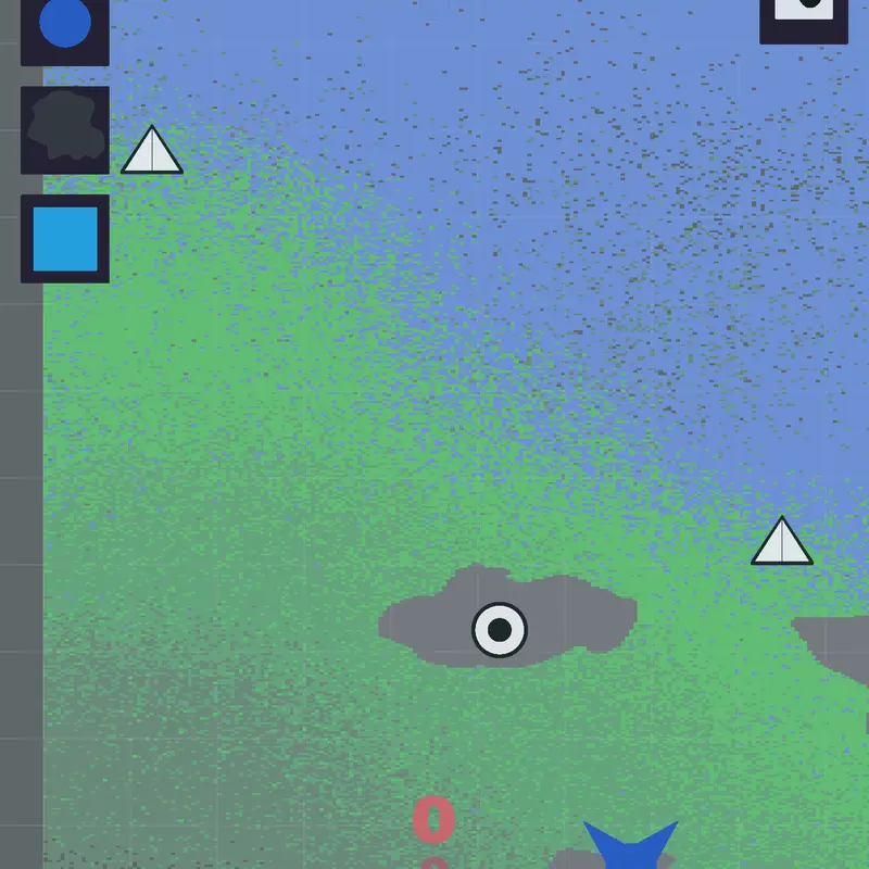
What was added:
When the units are placed in the water, they form a circle.
Pixels of territory become more transparent when they come into contact with water.
The map has been reconstructed.
New visual configuration: visually disable or enable water territories.
Reply

Can I remix this I will mao a Europe map war with this and add credit to you you can say no if you want (:
 1Reply
 Even I can’t make this magnificent game 😭😭😊
1ReplyWonder how people make this
1ReplyLooks like a frontline war
1ReplyThis is cool
1Reply